Church Lane
Introduction
The photograph on this page of Church Lane by Richard Bamford as part of the Geograph project.
The Geograph project started in 2005 with the aim of publishing, organising and preserving representative images for every square kilometre of Great Britain, Ireland and the Isle of Man.

There are currently over 7.5m images from over 14,400 individuals and you can help contribute to the project by visiting https://www.geograph.org.uk
Church Lane
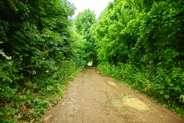
Image: © Richard Bamford Taken: 6 Jun 2020
View from the path crossing at the top of the hill at Gonerby down the track that becomes Church Lane.
Images are licensed for reuse under creativecommons.org/licenses/by-sa/2.0
Image Location
Latitude
52.931394
Longitude
-0.668153