Hullanvington's old school
Introduction
The photograph on this page of Hullanvington's old school by Neil Owen as part of the Geograph project.
The Geograph project started in 2005 with the aim of publishing, organising and preserving representative images for every square kilometre of Great Britain, Ireland and the Isle of Man.

There are currently over 7.5m images from over 14,400 individuals and you can help contribute to the project by visiting https://www.geograph.org.uk
Hullanvington's old school
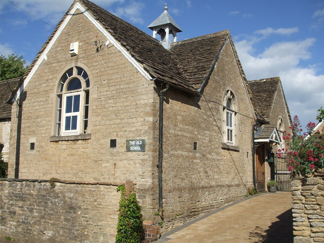
Image: © Neil Owen Taken: 5 Jun 2020
The former Hullavington County Primary Infants School in The Street. The Junior school was set up further along the road and is now the only educational site.
Images are licensed for reuse under creativecommons.org/licenses/by-sa/2.0
Image Location
Latitude
51.538693
Longitude
-2.151056