On-street parking, Pant Road, Newport
Introduction
The photograph on this page of On-street parking, Pant Road, Newport by Jaggery as part of the Geograph project.
The Geograph project started in 2005 with the aim of publishing, organising and preserving representative images for every square kilometre of Great Britain, Ireland and the Isle of Man.

There are currently over 7.5m images from over 14,400 individuals and you can help contribute to the project by visiting https://www.geograph.org.uk
On-street parking, Pant Road, Newport
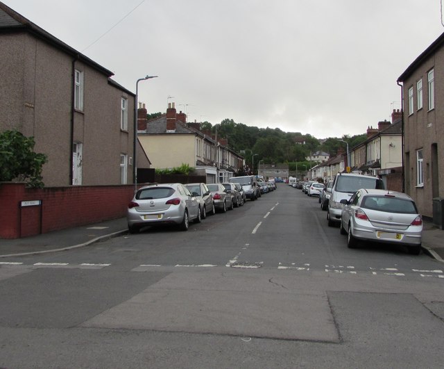
Image: © Jaggery Taken: 12 Jun 2020
From Malpas Road, Pant Road leads to Pant Lane, Malpas Lane and Ross Street. In the distance, Pant Road ends near the edge of the M4 motorway. Pant is Welsh for hollow or valley.
Images are licensed for reuse under creativecommons.org/licenses/by-sa/2.0
Image Location
Latitude
51.601315
Longitude
-3.002407