The A 497 at Penamser Road, Porthmadog
Introduction
The photograph on this page of The A 497 at Penamser Road, Porthmadog by Eric Jones as part of the Geograph project.
The Geograph project started in 2005 with the aim of publishing, organising and preserving representative images for every square kilometre of Great Britain, Ireland and the Isle of Man.

There are currently over 7.5m images from over 14,400 individuals and you can help contribute to the project by visiting https://www.geograph.org.uk
The A 497 at Penamser Road, Porthmadog
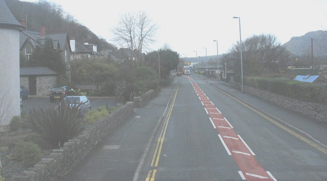
Image: © Eric Jones Taken: 5 Jan 2008
This view is taken in the direction of Criccieth. The Penamser Industrial Estate lies to the right of the road. On the left side is a residential area which, in recent years, has seen considerable infilling and redevelopment.
Images are licensed for reuse under creativecommons.org/licenses/by-sa/2.0
Image Location
Latitude
52.927993
Longitude
-4.136981