Derelict building
Introduction
The photograph on this page of Derelict building by Bill Harrison as part of the Geograph project.
The Geograph project started in 2005 with the aim of publishing, organising and preserving representative images for every square kilometre of Great Britain, Ireland and the Isle of Man.

There are currently over 7.5m images from over 14,400 individuals and you can help contribute to the project by visiting https://www.geograph.org.uk
Derelict building
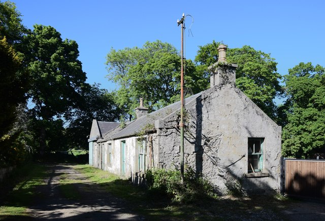
Image: © Bill Harrison Taken: 31 May 2020
It's shown on the 1899 OS 25-inch map and probably had something to do with the adjacent Crichiebank House, now part of Crichiebank Business Centre: https://www.geograph.org.uk/photo/6502113 .
Images are licensed for reuse under creativecommons.org/licenses/by-sa/2.0
Image Location
Latitude
57.264005
Longitude
-2.367863