View across Shacker Dale
Introduction
The photograph on this page of View across Shacker Dale by Alan Murray-Rust as part of the Geograph project.
The Geograph project started in 2005 with the aim of publishing, organising and preserving representative images for every square kilometre of Great Britain, Ireland and the Isle of Man.

There are currently over 7.5m images from over 14,400 individuals and you can help contribute to the project by visiting https://www.geograph.org.uk
View across Shacker Dale
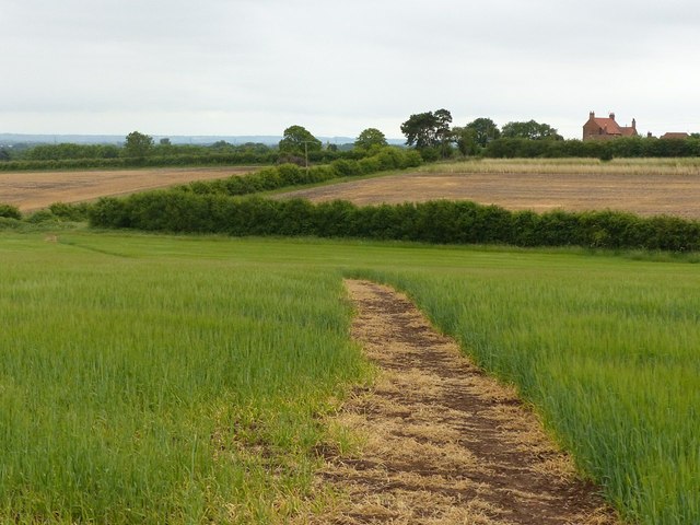
Image: © Alan Murray-Rust Taken: 7 Jun 2020
Looking south. The Shacker runs along the hedge line; Shackerdale Farm in the distance.
Images are licensed for reuse under creativecommons.org/licenses/by-sa/2.0
Image Location
Latitude
52.991094
Longitude
-0.92659