Side of B481 Red Lane and field beyond
Introduction
The photograph on this page of Side of B481 Red Lane and field beyond by David Hawgood as part of the Geograph project.
The Geograph project started in 2005 with the aim of publishing, organising and preserving representative images for every square kilometre of Great Britain, Ireland and the Isle of Man.

There are currently over 7.5m images from over 14,400 individuals and you can help contribute to the project by visiting https://www.geograph.org.uk
Side of B481 Red Lane and field beyond
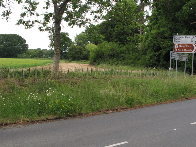
Image: © David Hawgood Taken: 8 Jun 2020
This is the northern end of B481 at a junction with B480. The sign shows Watlington B480 to the right, Nettlebed B481 and via A4130 to Henley, towards the camera Christmas Cmn (Common), Pishill and Stonor. The brown tourist sign shows Stonor Park with a house symbol, Fox and Hounds with a cutlery symbol. There are flowers in the grassy verge, and wheat growing in the field.
Images are licensed for reuse under creativecommons.org/licenses/by-sa/2.0
Image Location
Latitude
51.613223
Longitude
-0.991169