The bridle track
Introduction
The photograph on this page of The bridle track by Malcolm Neal as part of the Geograph project.
The Geograph project started in 2005 with the aim of publishing, organising and preserving representative images for every square kilometre of Great Britain, Ireland and the Isle of Man.

There are currently over 7.5m images from over 14,400 individuals and you can help contribute to the project by visiting https://www.geograph.org.uk
The bridle track
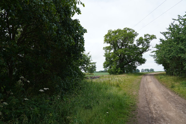
Image: © Malcolm Neal Taken: 8 Jun 2020
There is a circular harrow on the left side of the track awaiting collection no doubt.
Images are licensed for reuse under creativecommons.org/licenses/by-sa/2.0
Image Location
Latitude
52.944691
Longitude
-1.513336