Ensbury Park: Heather Road
Introduction
The photograph on this page of Ensbury Park: Heather Road by Chris Downer as part of the Geograph project.
The Geograph project started in 2005 with the aim of publishing, organising and preserving representative images for every square kilometre of Great Britain, Ireland and the Isle of Man.

There are currently over 7.5m images from over 14,400 individuals and you can help contribute to the project by visiting https://www.geograph.org.uk
Ensbury Park: Heather Road
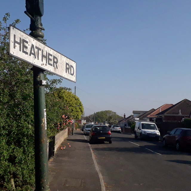
Image: © Chris Downer Taken: 11 Apr 2020
Heather Road is a short but fat crescent starting and finishing on Howeth Road. It is typical of the Ensbury Park side streets - detached houses and bungalows mainly from between the two World Wars. The sign is the standard Bournemouth nameplate from the 1980s, in this case affixed high on a lamppost rather than a standard fitting low to the ground. This is photo no.189 of a series of 453 in my coronavirus lockdown walking project: See https://www.geograph.org.uk/article/My-2020-Coronavirus-Lockdown-walking-project for the complete set of photos.
Images are licensed for reuse under creativecommons.org/licenses/by-sa/2.0
Image Location
Latitude
50.75563
Longitude
-1.894759