Coventry Road, Narborough
Introduction
The photograph on this page of Coventry Road, Narborough by Stephen McKay as part of the Geograph project.
The Geograph project started in 2005 with the aim of publishing, organising and preserving representative images for every square kilometre of Great Britain, Ireland and the Isle of Man.

There are currently over 7.5m images from over 14,400 individuals and you can help contribute to the project by visiting https://www.geograph.org.uk
Coventry Road, Narborough
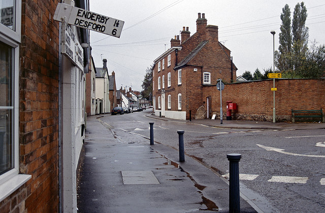
Image: © Stephen McKay Taken: Unknown
The signpost pointing along Desford Road looks a little the worse for wear and has been replaced since this 1997 view. Narborough is a large suburban 'village' on the edge of Leicester with a population (in 2011) of about 8,500.
Images are licensed for reuse under creativecommons.org/licenses/by-sa/2.0
Image Location
Latitude
52.571758
Longitude
-1.205846