Cumbernauld housing ? 1964
Introduction
The photograph on this page of Cumbernauld housing ? 1964 by Alan Murray-Rust as part of the Geograph project.
The Geograph project started in 2005 with the aim of publishing, organising and preserving representative images for every square kilometre of Great Britain, Ireland and the Isle of Man.

There are currently over 7.5m images from over 14,400 individuals and you can help contribute to the project by visiting https://www.geograph.org.uk
Cumbernauld housing ? 1964
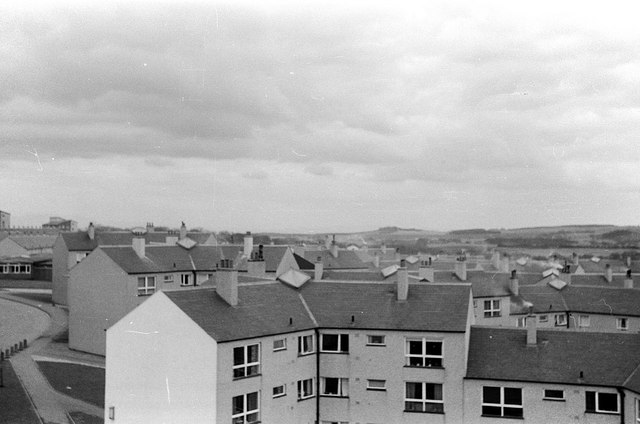
Image: © Alan Murray-Rust Taken: Unknown
Part of the Kyle Road development in the Kildrum area. The view must have been taken from the roof of the Sacred Heart church, which would have been under construction at the time. The visit to Cumbernauld was part of an architectural study tour when I was a student.
Images are licensed for reuse under creativecommons.org/licenses/by-sa/2.0
Image Location
Latitude
55.951892
Longitude
-3.975873