The Money Hill region of Ashby-de-la-Zouch
Introduction
The photograph on this page of The Money Hill region of Ashby-de-la-Zouch by Oliver Mills as part of the Geograph project.
The Geograph project started in 2005 with the aim of publishing, organising and preserving representative images for every square kilometre of Great Britain, Ireland and the Isle of Man.

There are currently over 7.5m images from over 14,400 individuals and you can help contribute to the project by visiting https://www.geograph.org.uk
The Money Hill region of Ashby-de-la-Zouch
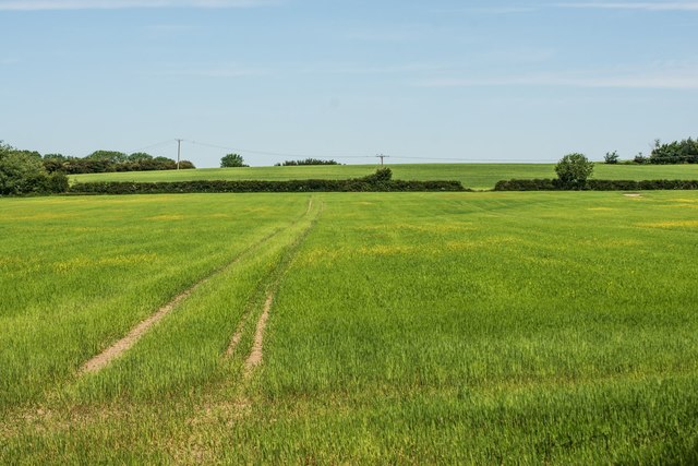
Image: © Oliver Mills Taken: 2 Jun 2020
A large area of fields and farmland is bounded by the A511 Ashby Bypass to the North-West, North Street to the South, and Smisby Road and various housing estates to the West. There have been plans for a while to develop much of this space into housing. Viewed from the Ivanhoe Way/Cross Britain Way, near its connection with Featherbed Lane.
Images are licensed for reuse under creativecommons.org/licenses/by-sa/2.0
Image Location
Latitude
52.754693
Longitude
-1.460041