Thruffle Way, Bar Hill, from Pettitt?s Lane, Dry Drayton
Introduction
The photograph on this page of Thruffle Way, Bar Hill, from Pettitt?s Lane, Dry Drayton by Martin Tester as part of the Geograph project.
The Geograph project started in 2005 with the aim of publishing, organising and preserving representative images for every square kilometre of Great Britain, Ireland and the Isle of Man.

There are currently over 7.5m images from over 14,400 individuals and you can help contribute to the project by visiting https://www.geograph.org.uk
Thruffle Way, Bar Hill, from Pettitt?s Lane, Dry Drayton
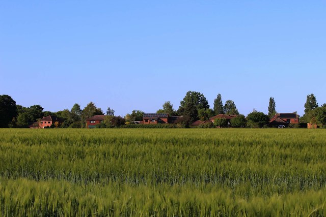
Image: © Martin Tester Taken: 14 May 2020
When Bar Hill was planned the intention was that all housing should lie within a perimeter road. The developers had other ideas & as is so often the case the developers got their way & were allowed to build some housing outside it on Craft's Hill. This is the rear of Thruffle Way seen from the footpath at the end of Pettitt's Lane.
Images are licensed for reuse under creativecommons.org/licenses/by-sa/2.0
Image Location
Latitude
52.24767
Longitude
0.027158