Where the Longster Trail joins the Hollows path
Introduction
The photograph on this page of Where the Longster Trail joins the Hollows path by BrianPritchard as part of the Geograph project.
The Geograph project started in 2005 with the aim of publishing, organising and preserving representative images for every square kilometre of Great Britain, Ireland and the Isle of Man.

There are currently over 7.5m images from over 14,400 individuals and you can help contribute to the project by visiting https://www.geograph.org.uk
Where the Longster Trail joins the Hollows path
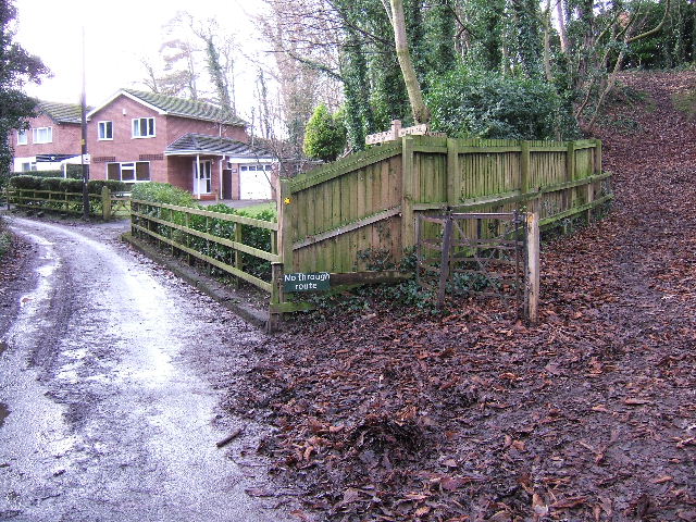
Image: © BrianPritchard Taken: 5 Jan 2008
The Hollows path goes off to the left, and towards the A41, and the Longster Trail is to the right.
Images are licensed for reuse under creativecommons.org/licenses/by-sa/2.0
Image Location
Latitude
53.206733
Longitude
-2.827021