Edington buildings [1]
Introduction
The photograph on this page of Edington buildings [1] by Michael Dibb as part of the Geograph project.
The Geograph project started in 2005 with the aim of publishing, organising and preserving representative images for every square kilometre of Great Britain, Ireland and the Isle of Man.

There are currently over 7.5m images from over 14,400 individuals and you can help contribute to the project by visiting https://www.geograph.org.uk
Edington buildings [1]
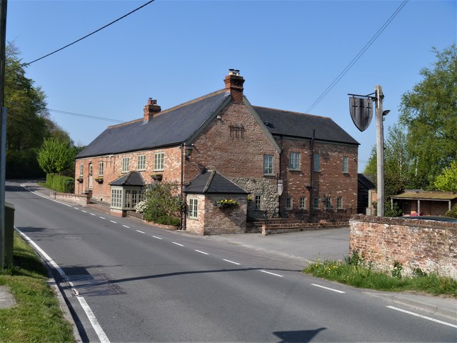
Image: © Michael Dibb Taken: 24 Apr 2020
Occupying the site of a 1750 building the Three Daggers Inn is Victorian. Previously known as The Lamb, the inn is a micro brewery and home to a farm shop. Edington is a former agricultural village which lies on the ‘springline’ of the northern escarpment of Salisbury Plain about 4 miles east of the town of Westbury. A priory was founded in the 14th century and became a monastery of the Brothers of Penitence, or Bonshommes. The magnificent monastery church continues in use as the parish church and is the home of the nationally-known annual Edington Music Festival.
Images are licensed for reuse under creativecommons.org/licenses/by-sa/2.0
Image Location
Latitude
51.278622
Longitude
-2.098731