Friends' Burial Ground, Kingswells
Introduction
The photograph on this page of Friends' Burial Ground, Kingswells by Bill Harrison as part of the Geograph project.
The Geograph project started in 2005 with the aim of publishing, organising and preserving representative images for every square kilometre of Great Britain, Ireland and the Isle of Man.

There are currently over 7.5m images from over 14,400 individuals and you can help contribute to the project by visiting https://www.geograph.org.uk
Friends' Burial Ground, Kingswells
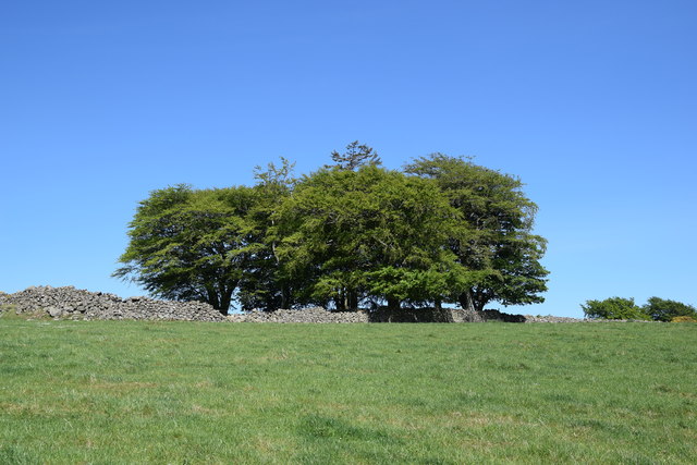
Image: © Bill Harrison Taken: 30 May 2020
The intriguing 17th Century walled burial site sits on a hill to the west of Kingswells, although there are no visible memorials or graves. See Canmore record 19311 for more: https://canmore.org.uk/site/19311/aberdeen-kingswells-friends-burial-ground .
Images are licensed for reuse under creativecommons.org/licenses/by-sa/2.0
Image Location
Latitude
57.150413
Longitude
-2.238644