Green area on Wyther Park Hill
Introduction
The photograph on this page of Green area on Wyther Park Hill by Stephen Craven as part of the Geograph project.
The Geograph project started in 2005 with the aim of publishing, organising and preserving representative images for every square kilometre of Great Britain, Ireland and the Isle of Man.

There are currently over 7.5m images from over 14,400 individuals and you can help contribute to the project by visiting https://www.geograph.org.uk
Green area on Wyther Park Hill
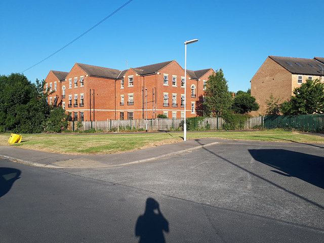
Image: © Stephen Craven Taken: 31 May 2020
This feature is a legacy of the original road layout: Wyther Park Hill as built in the 1920s carried on to the right of the photo, where it is now blocked by a green palisade fence separating this street from Raynville Gardens (a much more recent estate the other side). A through pedestrian route would have been sensible but was not provided. The road in the foreground was a stub off it, but now represents the remainder of Wyther Park Hill.
Images are licensed for reuse under creativecommons.org/licenses/by-sa/2.0
Image Location
Latitude
53.810742
Longitude
-1.609368