View down Footpath to Station Road
Introduction
The photograph on this page of View down Footpath to Station Road by Sean Davis as part of the Geograph project.
The Geograph project started in 2005 with the aim of publishing, organising and preserving representative images for every square kilometre of Great Britain, Ireland and the Isle of Man.

There are currently over 7.5m images from over 14,400 individuals and you can help contribute to the project by visiting https://www.geograph.org.uk
View down Footpath to Station Road
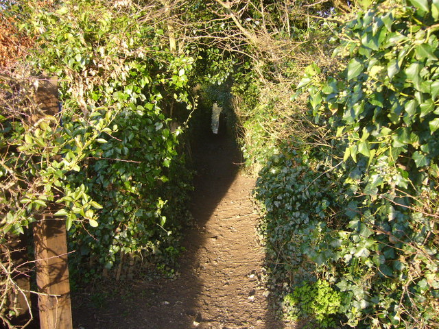
Image: © Sean Davis Taken: 13 Mar 2011
Enclosed public footpath from next to Martyrs' Memorial down to Station Road at Amersham. The path is very narrow and enclosed between garden fences, but if you look carefully you can see it coming out onto Station Road in the distance. This is on the route of the London Green Belt Way. To view the footpath sign see https://www.geograph.org.uk/photo/6493294 and to view the Martyrs' Memorial from here see https://www.geograph.org.uk/photo/6426042
Images are licensed for reuse under creativecommons.org/licenses/by-sa/2.0
Image Location
Latitude
51.668863
Longitude
-0.606878