Wild Croft Bridge
Introduction
The photograph on this page of Wild Croft Bridge by Ian Capper as part of the Geograph project.
The Geograph project started in 2005 with the aim of publishing, organising and preserving representative images for every square kilometre of Great Britain, Ireland and the Isle of Man.

There are currently over 7.5m images from over 14,400 individuals and you can help contribute to the project by visiting https://www.geograph.org.uk
Wild Croft Bridge
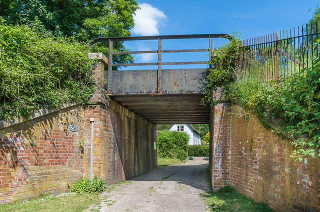
Image: © Ian Capper Taken: 27 May 2020
Bridge carrying the Redhill - Guildford railway over the driveway to Wildecroft Cottage. Through the bridge can be seen Wildecroft Lodge (see Image). (Note the different spelling - "Wild Croft Bridge" is the name given on the Network Rail plaque on the bridge wall.)
Images are licensed for reuse under creativecommons.org/licenses/by-sa/2.0
Image Location


Leaflet Map data © OpenStreetMap
Latitude
51.249997
Longitude
-0.259855