Ospringe Place, Ospringe
Introduction
The photograph on this page of Ospringe Place, Ospringe by pam fray as part of the Geograph project.
The Geograph project started in 2005 with the aim of publishing, organising and preserving representative images for every square kilometre of Great Britain, Ireland and the Isle of Man.

There are currently over 7.5m images from over 14,400 individuals and you can help contribute to the project by visiting https://www.geograph.org.uk
Ospringe Place, Ospringe
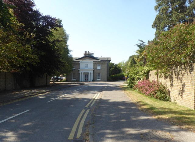
Image: © pam fray Taken: 30 May 2020
A small modern housing development. The house in the photograph is the original Ospringe Place, a Grade II listed late 18th century house built in 1799.
Images are licensed for reuse under creativecommons.org/licenses/by-sa/2.0
Image Location
Latitude
51.310002
Longitude
0.878668