Road junction east of Great Torrington
Introduction
The photograph on this page of Road junction east of Great Torrington by Derek Harper as part of the Geograph project.
The Geograph project started in 2005 with the aim of publishing, organising and preserving representative images for every square kilometre of Great Britain, Ireland and the Isle of Man.

There are currently over 7.5m images from over 14,400 individuals and you can help contribute to the project by visiting https://www.geograph.org.uk
Road junction east of Great Torrington
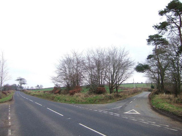
Image: © Derek Harper Taken: 4 Jan 2008
The lane to Kingscott veers off to the right from the B3227 to Umberleigh. On the left, at the next bend, is Little Silver.
Images are licensed for reuse under creativecommons.org/licenses/by-sa/2.0
Image Location
Latitude
50.955085
Longitude
-4.12222