Junction of Lower Road, Four Oaks Road and Bysing Wood Road
Introduction
The photograph on this page of Junction of Lower Road, Four Oaks Road and Bysing Wood Road by pam fray as part of the Geograph project.
The Geograph project started in 2005 with the aim of publishing, organising and preserving representative images for every square kilometre of Great Britain, Ireland and the Isle of Man.

There are currently over 7.5m images from over 14,400 individuals and you can help contribute to the project by visiting https://www.geograph.org.uk
Junction of Lower Road, Four Oaks Road and Bysing Wood Road
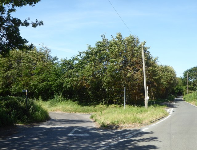
Image: © pam fray Taken: 28 May 2020
Viewed from the end of Bysing Wood Road with Four Oaks Road on the left and Lower Road on the right. The public bridleway that leads to Western Link is on the left.
Images are licensed for reuse under creativecommons.org/licenses/by-sa/2.0
Image Location
Latitude
51.321313
Longitude
0.857558