Bratton houses [25]
Introduction
The photograph on this page of Bratton houses [25] by Michael Dibb as part of the Geograph project.
The Geograph project started in 2005 with the aim of publishing, organising and preserving representative images for every square kilometre of Great Britain, Ireland and the Isle of Man.

There are currently over 7.5m images from over 14,400 individuals and you can help contribute to the project by visiting https://www.geograph.org.uk
Bratton houses [25]
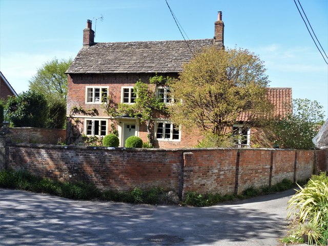
Image: © Michael Dibb Taken: 21 Apr 2020
Scotts Farmhouse is a fine mid 18th century former farmhouse in brick with stone dressings. There are later extensions to the right and to the rear. Listed, grade II, with details at: https://historicengland.org.uk/listing/the-list/list-entry/1036505 Bratton is a former agricultural village which lies on the ‘springline’ of the northern escarpment of Salisbury Plain about 2½ miles east of the town of Westbury. Large flocks of sheep were pastured on the Downs south of the village and corn was grown on the flat lands to the north. The village was the home of the renowned firm of R & J Reeves who produced agricultural machinery.
Images are licensed for reuse under creativecommons.org/licenses/by-sa/2.0
Image Location
Latitude
51.271761
Longitude
-2.126956