Kingston Railway Wharf
Introduction
The photograph on this page of Kingston Railway Wharf by Simon Carey as part of the Geograph project.
The Geograph project started in 2005 with the aim of publishing, organising and preserving representative images for every square kilometre of Great Britain, Ireland and the Isle of Man.

There are currently over 7.5m images from over 14,400 individuals and you can help contribute to the project by visiting https://www.geograph.org.uk
Kingston Railway Wharf
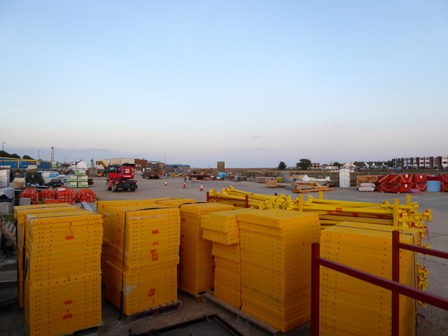
Image: © Simon Carey Taken: 24 May 2020
Once served by a siding from the main coastway west line. The rails were lifted in 1971 though the wharf remained in commercial use but is now being cleared as all the six wharves along the northern side of the western arm of Shoreham Harbour are being redeeveloped for housing.
Images are licensed for reuse under creativecommons.org/licenses/by-sa/2.0
Image Location
Latitude
50.831546
Longitude
-0.253508