Surry Street, Shoreham By Sea
Introduction
The photograph on this page of Surry Street, Shoreham By Sea by Simon Carey as part of the Geograph project.
The Geograph project started in 2005 with the aim of publishing, organising and preserving representative images for every square kilometre of Great Britain, Ireland and the Isle of Man.

There are currently over 7.5m images from over 14,400 individuals and you can help contribute to the project by visiting https://www.geograph.org.uk
Surry Street, Shoreham By Sea
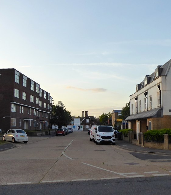
Image: © Simon Carey Taken: 24 May 2020
Residential street linking New Road to Ham Road. Originally laid out in the 19th century all the terraced housing was removed in the late 1950s and the street moved slightly westwards, widened and redeveloped.
Images are licensed for reuse under creativecommons.org/licenses/by-sa/2.0
Image Location
Latitude
50.833412
Longitude
-0.270054