Brunel Terrace
Introduction
The photograph on this page of Brunel Terrace by Andrew Abbott as part of the Geograph project.
The Geograph project started in 2005 with the aim of publishing, organising and preserving representative images for every square kilometre of Great Britain, Ireland and the Isle of Man.

There are currently over 7.5m images from over 14,400 individuals and you can help contribute to the project by visiting https://www.geograph.org.uk
Brunel Terrace
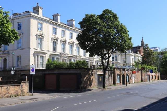
Image: © Andrew Abbott Taken: 25 May 2020
Grade II listed. Listing number 1247532. Terrace of 5 houses c1850, altered mid and late C20.
Images are licensed for reuse under creativecommons.org/licenses/by-sa/2.0
Image Location
Latitude
52.95499
Longitude
-1.166247