Towerridge Lane towards West Wycombe Village
Introduction
The photograph on this page of Towerridge Lane towards West Wycombe Village by Sean Davis as part of the Geograph project.
The Geograph project started in 2005 with the aim of publishing, organising and preserving representative images for every square kilometre of Great Britain, Ireland and the Isle of Man.

There are currently over 7.5m images from over 14,400 individuals and you can help contribute to the project by visiting https://www.geograph.org.uk
Towerridge Lane towards West Wycombe Village
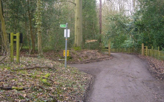
Image: © Sean Davis Taken: 13 Mar 2011
Towerridge Lane is south and on the hill above West Wycombe House. The lane, directly ahead, leads downhill to the A40 at West Wycombe Village after half a mile. This is on the route of the London Green Belt Way.
Images are licensed for reuse under creativecommons.org/licenses/by-sa/2.0
Image Location
Latitude
51.637621
Longitude
-0.806501