Footpath from Broxted Road to Brown's End Road, Great Easton
Introduction
The photograph on this page of Footpath from Broxted Road to Brown's End Road, Great Easton by David Kemp as part of the Geograph project.
The Geograph project started in 2005 with the aim of publishing, organising and preserving representative images for every square kilometre of Great Britain, Ireland and the Isle of Man.

There are currently over 7.5m images from over 14,400 individuals and you can help contribute to the project by visiting https://www.geograph.org.uk
Footpath from Broxted Road to Brown's End Road, Great Easton
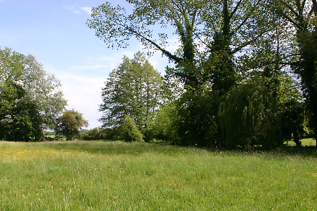
Image: © David Kemp Taken: 23 May 2020
The line of trees marks the course of an un-named tributary of the River Chelmer crossed by the footpath.
Images are licensed for reuse under creativecommons.org/licenses/by-sa/2.0
Image Location
Latitude
51.901986
Longitude
0.316395