Byway passing Hazeltop
Introduction
The photograph on this page of Byway passing Hazeltop by Trevor Harris as part of the Geograph project.
The Geograph project started in 2005 with the aim of publishing, organising and preserving representative images for every square kilometre of Great Britain, Ireland and the Isle of Man.

There are currently over 7.5m images from over 14,400 individuals and you can help contribute to the project by visiting https://www.geograph.org.uk
Byway passing Hazeltop
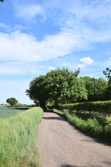
Image: © Trevor Harris Taken: 22 May 2020
This byway running south from the byway between Dagnets Farm and Black Notley, is called Green Lane at this point.
Images are licensed for reuse under creativecommons.org/licenses/by-sa/2.0
Image Location
Latitude
51.841269
Longitude
0.551806