Lambley Reed Pond
Introduction
The photograph on this page of Lambley Reed Pond by Alan Murray-Rust as part of the Geograph project.
The Geograph project started in 2005 with the aim of publishing, organising and preserving representative images for every square kilometre of Great Britain, Ireland and the Isle of Man.

There are currently over 7.5m images from over 14,400 individuals and you can help contribute to the project by visiting https://www.geograph.org.uk
Lambley Reed Pond
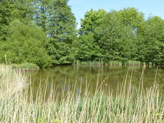
Image: © Alan Murray-Rust Taken: 20 May 2020
This was a medieval fish pond, later filled in but reopened in 1974 to create a local nature reserve. The future of this is in doubt at the time of writing as the Nottinghamshire Wildlife Trust has announced its intention to sell the area.
Images are licensed for reuse under creativecommons.org/licenses/by-sa/2.0
Image Location
Latitude
53.002356
Longitude
-1.05685