Crown Square, Shaldon
Introduction
The photograph on this page of Crown Square, Shaldon by Derek Harper as part of the Geograph project.
The Geograph project started in 2005 with the aim of publishing, organising and preserving representative images for every square kilometre of Great Britain, Ireland and the Isle of Man.

There are currently over 7.5m images from over 14,400 individuals and you can help contribute to the project by visiting https://www.geograph.org.uk
Crown Square, Shaldon
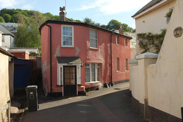
Image: © Derek Harper Taken: 18 May 2020
Seen from Middle Street, this is the eastern entrance to the square, with the red building also shown at Image The right-hand part of the building, the facade of which faces onto the square itself, is mapped by the EH as https://historicengland.org.uk/listing/the-list/list-entry/1269242 , but in fact Bell Cottage is around the corner, as shown in Image
Images are licensed for reuse under creativecommons.org/licenses/by-sa/2.0
Image Location
Latitude
50.53993
Longitude
-3.504426