Zulla Road, Mapperley Park
Introduction
The photograph on this page of Zulla Road, Mapperley Park by Kate Jewell as part of the Geograph project.
The Geograph project started in 2005 with the aim of publishing, organising and preserving representative images for every square kilometre of Great Britain, Ireland and the Isle of Man.

There are currently over 7.5m images from over 14,400 individuals and you can help contribute to the project by visiting https://www.geograph.org.uk
Zulla Road, Mapperley Park
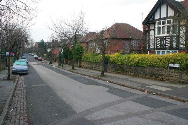
Image: © Kate Jewell Taken: 3 Jan 2008
Mapperley Park is a Conservation Area with a wealth of late Victorian and Edwardian housing on tree lined streets. Within easy walking distance of the city centre it is a popular area to live and many of the large houses on the south of the "estate" have been converted into flats. Zulla Road, on the south western side, is one of only two roads in the Nottingham area beginning with "Z". The other is Zulu Road a couple of kilometres west in Image Many of the roads in Mapperley Park are named after 19th Century military campaigns. Zulla was a small fishing village in Annesley Bay on the Abyssinian coast, (now Ethiopia). The village became the landing point during the 1868 campaign to rescue British hostages from the mountain fortress of Magdala. An account of this campaign, initiated by a "diplomatic incident" between King Theodore II of Abyssinia and the British Government, can be found at http://www.britishempire.co.uk/forces/armycampaigns/africancampaigns/campabyssinia.htm Zulla Road joins Magdala Road at its southern end.
Images are licensed for reuse under creativecommons.org/licenses/by-sa/2.0
Image Location


Leaflet Map data © OpenStreetMap
Latitude
52.971247
Longitude
-1.151639