Lower Brunton Cottage
Introduction
The photograph on this page of Lower Brunton Cottage by Oliver Dixon as part of the Geograph project.
The Geograph project started in 2005 with the aim of publishing, organising and preserving representative images for every square kilometre of Great Britain, Ireland and the Isle of Man.

There are currently over 7.5m images from over 14,400 individuals and you can help contribute to the project by visiting https://www.geograph.org.uk
Lower Brunton Cottage
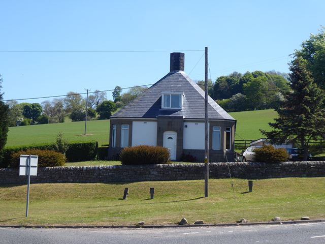
Image: © Oliver Dixon Taken: 20 May 2020
Formerly the police house sited at a busy cross roads. The design suggests it might have originally been a tollhouse.
Images are licensed for reuse under creativecommons.org/licenses/by-sa/2.0
Image Location
Latitude
55.025821
Longitude
-2.123544