Brickfields Meadow
Introduction
The photograph on this page of Brickfields Meadow by Peter Trimming as part of the Geograph project.
The Geograph project started in 2005 with the aim of publishing, organising and preserving representative images for every square kilometre of Great Britain, Ireland and the Isle of Man.

There are currently over 7.5m images from over 14,400 individuals and you can help contribute to the project by visiting https://www.geograph.org.uk
Brickfields Meadow
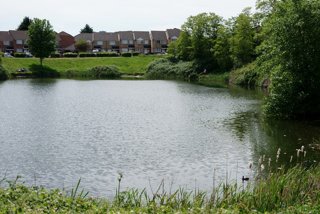
Image: © Peter Trimming Taken: 17 May 2020
Brickfields Meadow is the site of the defunct Woodside brickworks of which Croydon Council was able to take control, as a planning gain, in the early 1990s. The meadow covers an area of about 4.37 hectares. The meadow includes: large pond where fishing is allowed, dipping platform, Buddleia Valley, grassland and woodland planting, small woodland area, and a children's play area which includes a mini maze and roundabout.
Images are licensed for reuse under creativecommons.org/licenses/by-sa/2.0
Image Location
Latitude
51.39168
Longitude
-0.07329