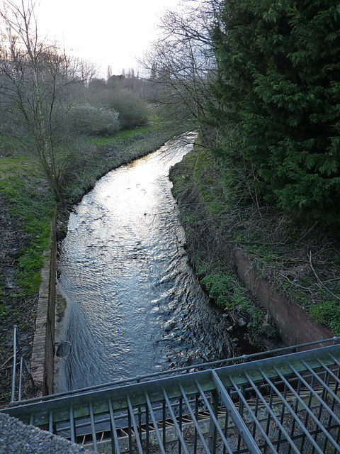
The Plants Brook in Pype Hayes
Introduction
The photograph on this page of The Plants Brook in Pype Hayes by Richard Law as part of the Geograph project.
The Geograph project started in 2005 with the aim of publishing, organising and preserving representative images for every square kilometre of Great Britain, Ireland and the Isle of Man.
There are currently over 7.5m images from over 14,400 individuals and you can help contribute to the project by visiting https://www.geograph.org.uk

Image: © Richard Law Taken: 11 Mar 2020
The steel and concrete construction in the foreground is a 'sump' for the brook, which has been engineered to flow underground all the rest of the way to its confluence with the Tame. It previously ran just north of the cluster of reservoirs east of here Image, then turned south through farmland west of Minworth, to join the Tame near Castle Bromwich; however it was being messed about with even by the late 19th century, as the 1889 maps suggests it had been diverted to allow the construction of the railways. The Castle Vale housing estate now occupies much of the land through which it formerly flowed, and the brook barely surfaces any more.

