White Bull Mews, Longridge
Introduction
The photograph on this page of White Bull Mews, Longridge by Chris Heaton as part of the Geograph project.
The Geograph project started in 2005 with the aim of publishing, organising and preserving representative images for every square kilometre of Great Britain, Ireland and the Isle of Man.

There are currently over 7.5m images from over 14,400 individuals and you can help contribute to the project by visiting https://www.geograph.org.uk
White Bull Mews, Longridge
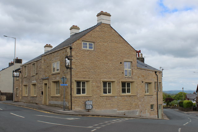
Image: © Chris Heaton Taken: 15 May 2020
Standing at the junction of Dilworth Lane and Higher Road in Longridge. Former public house, that has now become residential accommodation.
Images are licensed for reuse under creativecommons.org/licenses/by-sa/2.0
Image Location
Latitude
53.830561
Longitude
-2.597529