Small field near Heronden
Introduction
The photograph on this page of Small field near Heronden by Robin Webster as part of the Geograph project.
The Geograph project started in 2005 with the aim of publishing, organising and preserving representative images for every square kilometre of Great Britain, Ireland and the Isle of Man.

There are currently over 7.5m images from over 14,400 individuals and you can help contribute to the project by visiting https://www.geograph.org.uk
Small field near Heronden
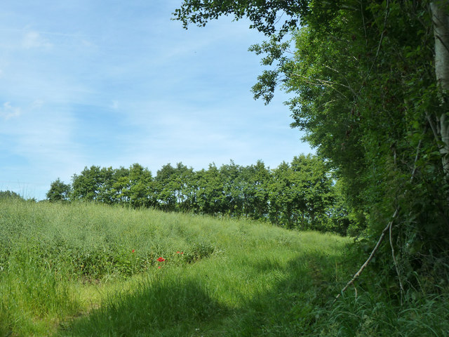
Image: © Robin Webster Taken: 12 Jun 2014
One of a series of small hedged arable fields, which only appeared on maps and aerial views late in the 20th century. Why were they created?
Images are licensed for reuse under creativecommons.org/licenses/by-sa/2.0
Image Location
Latitude
51.242693
Longitude
1.286022