Northbourne: Forton Close
Introduction
The photograph on this page of Northbourne: Forton Close by Chris Downer as part of the Geograph project.
The Geograph project started in 2005 with the aim of publishing, organising and preserving representative images for every square kilometre of Great Britain, Ireland and the Isle of Man.

There are currently over 7.5m images from over 14,400 individuals and you can help contribute to the project by visiting https://www.geograph.org.uk
Northbourne: Forton Close
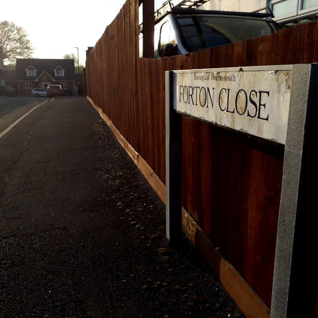
Image: © Chris Downer Taken: 11 Apr 2020
Forton Close is an infill development dating from around 2000, off Saxonhurst Road and turning left and right at the end, behind the back gardens of the latter road. The sign dates from the time of the development and is a shortlived design. It originally had the borough coat of arms at each end and a slightly shinier oval-ish shape can just be detected now. This is photo no.148 of a series of 453 in my coronavirus lockdown walking project: See https://www.geograph.org.uk/article/My-2020-Coronavirus-Lockdown-walking-project for the complete set of photos.
Images are licensed for reuse under creativecommons.org/licenses/by-sa/2.0
Image Location
Latitude
50.762185
Longitude
-1.885103