Bundish Hall
Introduction
The photograph on this page of Bundish Hall by Glyn Baker as part of the Geograph project.
The Geograph project started in 2005 with the aim of publishing, organising and preserving representative images for every square kilometre of Great Britain, Ireland and the Isle of Man.

There are currently over 7.5m images from over 14,400 individuals and you can help contribute to the project by visiting https://www.geograph.org.uk
Bundish Hall
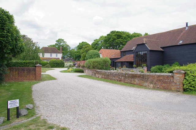
Image: © Glyn Baker Taken: 16 May 2020
The moated site is a scheduled monument although the buildings are exempt. https://historicengland.org.uk/listing/the-list/list-entry/1017170 The hall itself has origins in the C15 although it has been altered over the centuries.
Images are licensed for reuse under creativecommons.org/licenses/by-sa/2.0
Image Location
Latitude
51.728895
Longitude
0.245987