Claverton Down Community Hall
Introduction
The photograph on this page of Claverton Down Community Hall by Neil Owen as part of the Geograph project.
The Geograph project started in 2005 with the aim of publishing, organising and preserving representative images for every square kilometre of Great Britain, Ireland and the Isle of Man.

There are currently over 7.5m images from over 14,400 individuals and you can help contribute to the project by visiting https://www.geograph.org.uk
Claverton Down Community Hall
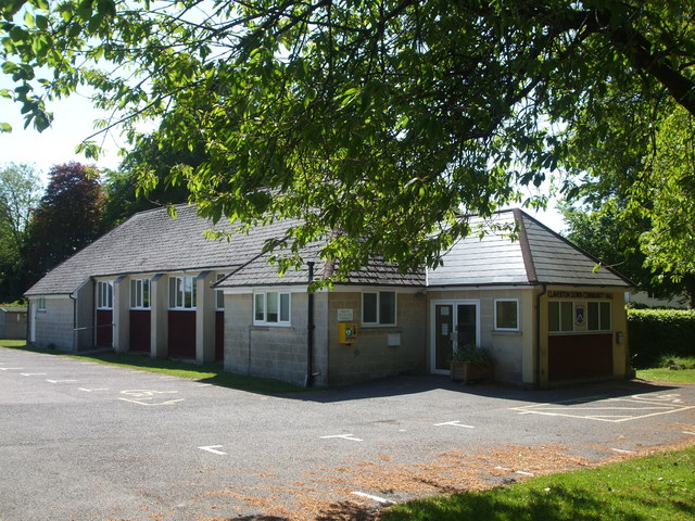
Image: © Neil Owen Taken: 14 May 2020
A notice declares that the hall will remain closed until at least the end of June. It opened in 1958.
Images are licensed for reuse under creativecommons.org/licenses/by-sa/2.0
Image Location
Latitude
51.374321
Longitude
-2.32981