Path in Hanger Hill Wood (Chatsworth Wood)
Introduction
The photograph on this page of Path in Hanger Hill Wood (Chatsworth Wood) by David Hawgood as part of the Geograph project.
The Geograph project started in 2005 with the aim of publishing, organising and preserving representative images for every square kilometre of Great Britain, Ireland and the Isle of Man.

There are currently over 7.5m images from over 14,400 individuals and you can help contribute to the project by visiting https://www.geograph.org.uk
Path in Hanger Hill Wood (Chatsworth Wood)
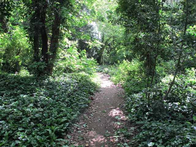
Image: © David Hawgood Taken: 11 May 2020
The surprisingly wild wood is a narrow segment-shape between the busy North Circular and the curving residential Chatsworth Road. Across the wood at its widest part is a bridleway, this path leads down from the bridleway to the bottom of Chatsworth Road.
Images are licensed for reuse under creativecommons.org/licenses/by-sa/2.0
Image Location
Latitude
51.524195
Longitude
-0.291428