Rebuilding Pen-Rhiw Bengi Farm (2)
Introduction
The photograph on this page of Rebuilding Pen-Rhiw Bengi Farm (2) by M J Roscoe as part of the Geograph project.
The Geograph project started in 2005 with the aim of publishing, organising and preserving representative images for every square kilometre of Great Britain, Ireland and the Isle of Man.

There are currently over 7.5m images from over 14,400 individuals and you can help contribute to the project by visiting https://www.geograph.org.uk
Rebuilding Pen-Rhiw Bengi Farm (2)
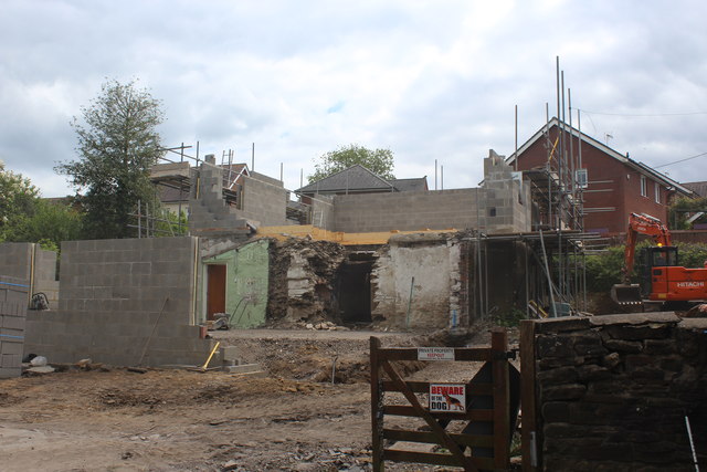
Image: © M J Roscoe Taken: 13 May 2020
The stone outhouses Image attached to the house have been completely demolished to make way for new building. The large hole in the wall marks the position of the main fireplace.
Images are licensed for reuse under creativecommons.org/licenses/by-sa/2.0
Image Location
Latitude
51.681895
Longitude
-3.1753