The end of Harrington Drive, Pinhoe
Introduction
The photograph on this page of The end of Harrington Drive, Pinhoe by David Smith as part of the Geograph project.
The Geograph project started in 2005 with the aim of publishing, organising and preserving representative images for every square kilometre of Great Britain, Ireland and the Isle of Man.

There are currently over 7.5m images from over 14,400 individuals and you can help contribute to the project by visiting https://www.geograph.org.uk
The end of Harrington Drive, Pinhoe
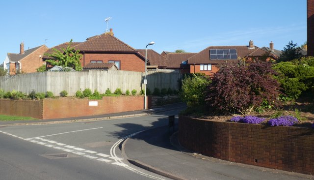
Image: © David Smith Taken: 12 May 2020
The names of roads around here include Harrington Lane, Harrington Road, Harrington Mews and this one
Images are licensed for reuse under creativecommons.org/licenses/by-sa/2.0
Image Location
Latitude
50.740884
Longitude
-3.473016