Pooley Bridge from Heughscar Hill
Introduction
The photograph on this page of Pooley Bridge from Heughscar Hill by Michael Earnshaw as part of the Geograph project.
The Geograph project started in 2005 with the aim of publishing, organising and preserving representative images for every square kilometre of Great Britain, Ireland and the Isle of Man.

There are currently over 7.5m images from over 14,400 individuals and you can help contribute to the project by visiting https://www.geograph.org.uk
Pooley Bridge from Heughscar Hill
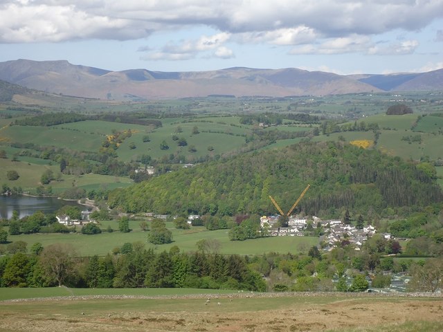
Image: © Michael Earnshaw Taken: 9 May 2020
The huge crane which lifted the new bridge into position two days ago still dominates the village. For a history of the bridges old and new, see www.geograph.org.uk/article/The-Pooley-Bridges . Dunmallet (or Dunmallard) Hill is the wooded hill just behind the village. In the distance are the Northern Fells, with Blencathra (aka Saddleback) conspicuous to the left.
Images are licensed for reuse under creativecommons.org/licenses/by-sa/2.0
Image Location
Latitude
54.612778
Longitude
-2.821065