Poorly Defined Benchmark
Introduction
The photograph on this page of Poorly Defined Benchmark by Matthew Hatton as part of the Geograph project.
The Geograph project started in 2005 with the aim of publishing, organising and preserving representative images for every square kilometre of Great Britain, Ireland and the Isle of Man.

There are currently over 7.5m images from over 14,400 individuals and you can help contribute to the project by visiting https://www.geograph.org.uk
Poorly Defined Benchmark
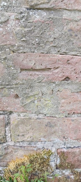
Image: © Matthew Hatton Taken: 8 May 2020
This mark is barely visible due to later rendering obscuring the arrows. Height is measured at 138.8ft asl.
Images are licensed for reuse under creativecommons.org/licenses/by-sa/2.0
Image Location
Latitude
54.267591
Longitude
-1.534897