Counterslip Baptist Church
Introduction
The photograph on this page of Counterslip Baptist Church by Neil Owen as part of the Geograph project.
The Geograph project started in 2005 with the aim of publishing, organising and preserving representative images for every square kilometre of Great Britain, Ireland and the Isle of Man.

There are currently over 7.5m images from over 14,400 individuals and you can help contribute to the project by visiting https://www.geograph.org.uk
Counterslip Baptist Church
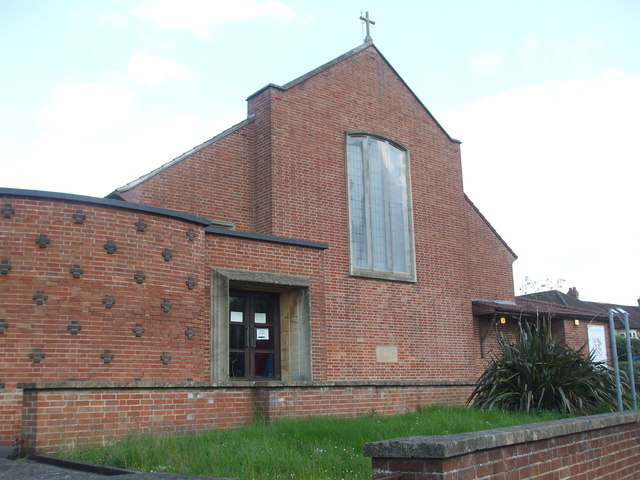
Image: © Neil Owen Taken: 7 May 2020
The church was founded in 1948 but the buildings were situated further to the rear. The current brick building seen here overlooking the Wells Road was a newer construction of 1957.
Images are licensed for reuse under creativecommons.org/licenses/by-sa/2.0
Image Location
Latitude
51.416966
Longitude
-2.560056