Egham Causeway
Introduction
The photograph on this page of Egham Causeway by Sean Davis as part of the Geograph project.
The Geograph project started in 2005 with the aim of publishing, organising and preserving representative images for every square kilometre of Great Britain, Ireland and the Isle of Man.

There are currently over 7.5m images from over 14,400 individuals and you can help contribute to the project by visiting https://www.geograph.org.uk
Egham Causeway
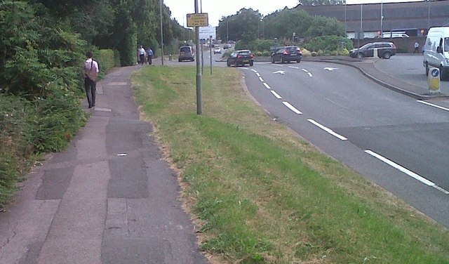
Image: © Sean Davis Taken: 14 Aug 2012
The elevated pavement is what is left of an old causeway which leads from The Hythe at Staines to The Glantly at Egham. It was built in the 13th century in the reign of Henry III (1216 – 1272) by a merchant named Thomas de Oxenford. This was for the safe conveyance of his wool and other merchandise to and from London markets. The causeway supported a road above the Egham flood-plain and also acted as a dyke to protect the surrounding area from flooding. Some sources also credit de Oxenford for building a bridge over the River Thames from Staines to Egham Hythe in the early 13th century.
Images are licensed for reuse under creativecommons.org/licenses/by-sa/2.0
Image Location
Latitude
51.433476
Longitude
-0.521402