A70 approaching Carstairs Village
Introduction
The photograph on this page of A70 approaching Carstairs Village by David Dixon as part of the Geograph project.
The Geograph project started in 2005 with the aim of publishing, organising and preserving representative images for every square kilometre of Great Britain, Ireland and the Isle of Man.

There are currently over 7.5m images from over 14,400 individuals and you can help contribute to the project by visiting https://www.geograph.org.uk
A70 approaching Carstairs Village
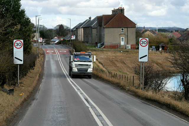
Image: © David Dixon Taken: 4 Mar 2020
Carstairs is a village situated approximately 5 miles to the east of Lanark.
Images are licensed for reuse under creativecommons.org/licenses/by-sa/2.0
Image Location
Latitude
55.694059
Longitude
-3.699675