PROW 279-136
Introduction
The photograph on this page of PROW 279-136 by Glyn Baker as part of the Geograph project.
The Geograph project started in 2005 with the aim of publishing, organising and preserving representative images for every square kilometre of Great Britain, Ireland and the Isle of Man.

There are currently over 7.5m images from over 14,400 individuals and you can help contribute to the project by visiting https://www.geograph.org.uk
PROW 279-136
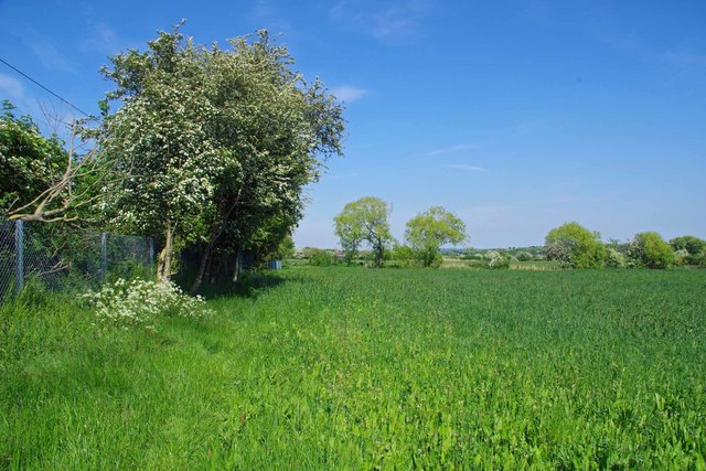
Image: © Glyn Baker Taken: 8 May 2020
This 2.8 Km long Public Right of Way Joins Pitsea Station with Thurrock FP 199 at the boarder with the Unitary authority. Here it is running parallel with the Tilbury Loop of the LTS railway (operated by C2C).
Images are licensed for reuse under creativecommons.org/licenses/by-sa/2.0
Image Location
Latitude
51.553982
Longitude
0.482601