Houses on Kirkstall Avenue
Introduction
The photograph on this page of Houses on Kirkstall Avenue by Stephen Craven as part of the Geograph project.
The Geograph project started in 2005 with the aim of publishing, organising and preserving representative images for every square kilometre of Great Britain, Ireland and the Isle of Man.

There are currently over 7.5m images from over 14,400 individuals and you can help contribute to the project by visiting https://www.geograph.org.uk
Houses on Kirkstall Avenue
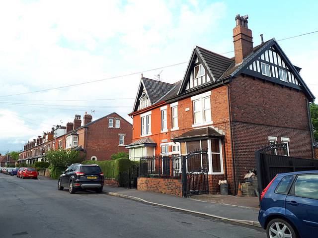
Image: © Stephen Craven Taken: 4 May 2020
This pair of late 19th or early 20th century houses is older and larger than most of the housing in the area - they first appear on the 1908 map along with the terrace beyond, and a few other properties nearby.
Images are licensed for reuse under creativecommons.org/licenses/by-sa/2.0
Image Location
Latitude
53.813264
Longitude
-1.610864